In the summer of 2014, Craig Clements was driving his lifted Ford F-250 down California State Route 44 when the postdoc from his lab, San Jose State’s Fire Weather Research Laboratory, said the words of every scientist’s dreams: “Oh my gosh. Look at that.”
They had been making a wide pass around the Bald and Eiler wildfires in the Lassen National Forest, trying to get out of the smoke so they could see the dense plumes curling out of the top. The postdoc, Neil Lareau, was sitting in the passenger seat operating a Doppler lidar sensor as they drove, and when they popped out of the haze, he saw a low, thick layer of smoke sliding along the ground in the opposite direction of the wind. It was, he thought, a density current, a phenomenon in which shade from smoke cools the ground below it, creating a temperature gradient not so different from the cold fronts that appear on meteorological forecasts. That’s what was making the smoke move in the wrong direction: weather created by fire.
This is not as crazy as it sounds. Fires release huge amounts of heat and water vapor into the atmosphere, the same factors that create rain clouds, winds, and convection currents—the ingredients of weather. Only because wildfires release so much heat, the weather they create can be stronger and more extreme than even hurricanes—updrafts fast enough to down a plane, smoke plumes full of debris, and 100-mph flame blasts driven by wind and pockets of fuel. But we know surprisingly little about how wildfires behave, which is why researchers such as Janice Coen, project scientist at the National Center for Atmospheric Research in Boulder, Colorado, are incorporating new data into combined weather-fire computer simulations that could one day save lives.
For example: When firefighters are on the less active side of a fire, it can suddenly shift direction and run at them with 200-foot flames. “Gust fronts overwhelming the firefighters have been behind a number of fatalities,” says Coen. When the models get good enough, they’ll be able to see them coming.
A Brief Guide to Fire Conditions
Density currents like the one Lareau spotted aren't the only fire-caused weather phenomena—and they're not close to the most extreme. A few of note, in order of intensity:
Density Current: Smoke blocks sunlight from the forest floor, creating a low-lying layer of dense, cool air that pushes smoke in unexpected directions.
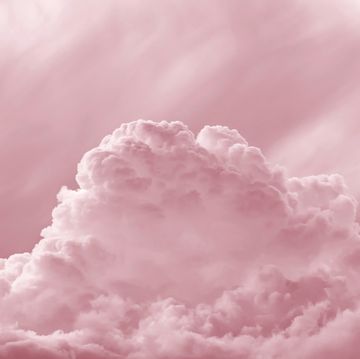
Pyrocumulus Cloud: Hot air and water vapor released by combustion rise over a wildfire. The vapor condenses into clouds that can cause rain or lightning.
Updraft: Heat creates extremely powerful winds that can sweep skyward at up to 120 mph. Clements’ team unwittingly flew through one. “One of the radar scientists on the aircraft hit his head and started bleeding,” says Clements. “We got this text where he said, ‘I’m bleeding for science, but we’re okay.’ ”
Horizontal Roll Vortex: Updrafts rotate along the ground in opposite directions (like log-rolling). “They can lean over and collapse on firefighters,” says Coen.
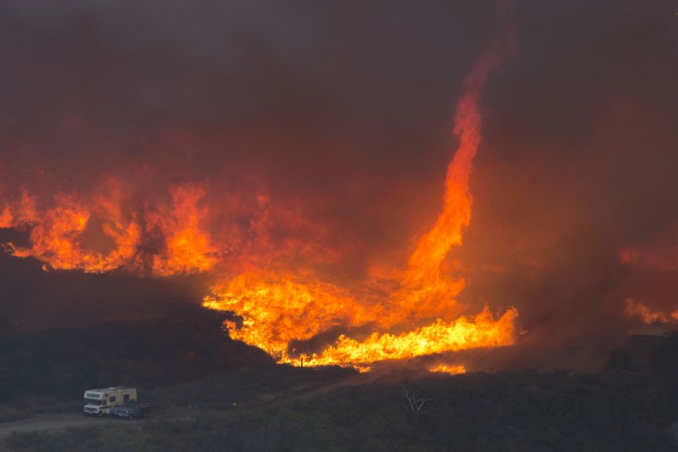
Fire Whirl (a.k.a. Firenado): Winds swirl around hot, buoyant gases from the fire so they shoot up in a spiral pattern, then ignite once they reach an area with sufficient oxygen. A firenado in British Columbia sucked up (and melted) a firefighter’s hose.
The Flamethrower (a.k.a. the Finger of Death): When a fire climbs a hill, sometimes it encounters a cache of unburnt fuel and shoots a finger of fire about 300 feet at 100 mph that collapses in less than two seconds. “You can think of it like a flamethrower that’s pointed along the ground,” says Coen.
This appears in the Winter 2018 issue.
